

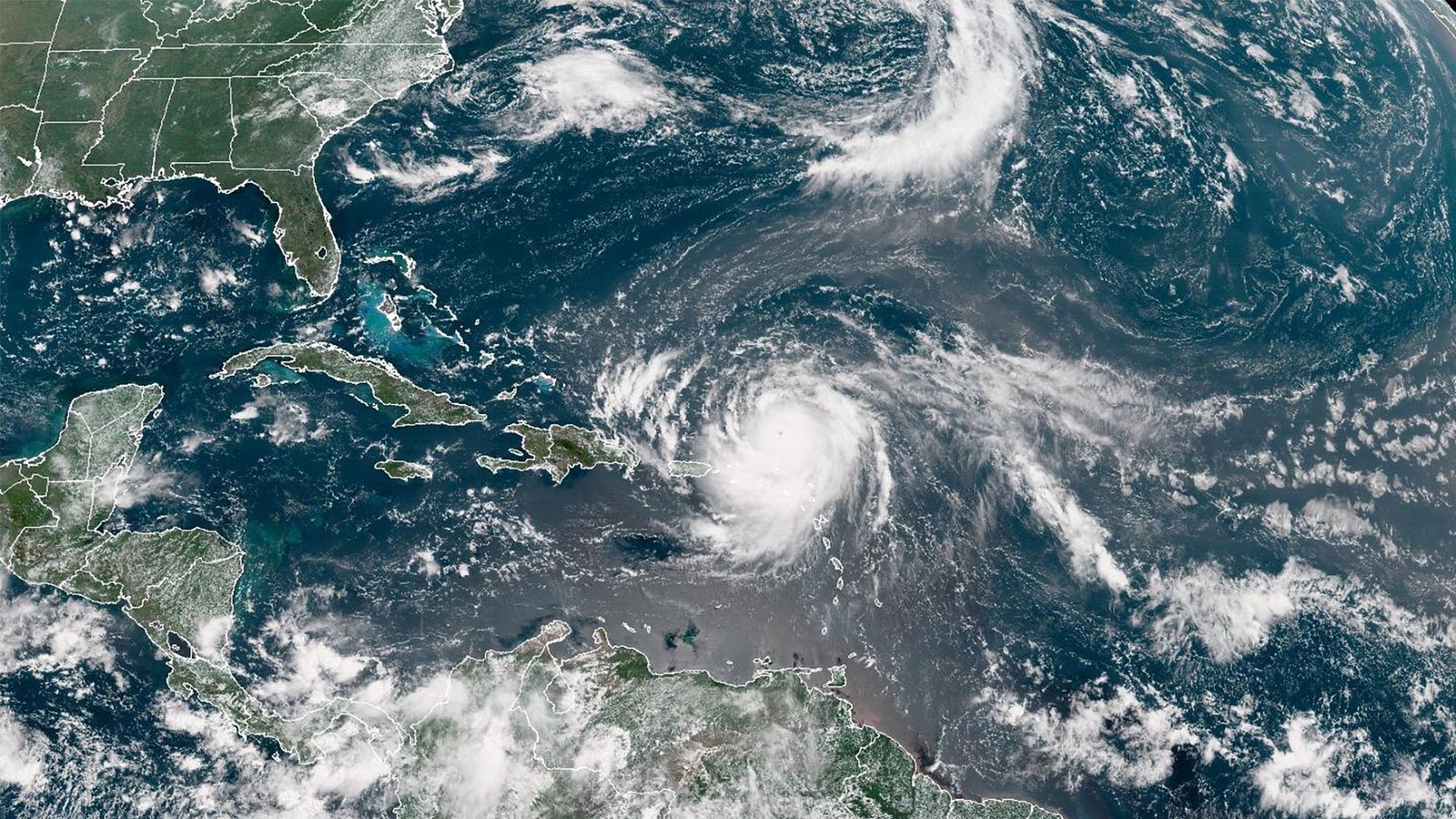
Erin lost some of its punch Monday evening, downgrading to a Category 2 hurricane after days of dramatic shifts in strength.
The storm’s erratic behavior over the past several days has made it one of the fastest strengthening hurricanes ever recorded in the Atlantic, highlighting once again how climate change is fueling the risk of rapid storm intensification.
Erin became the first hurricane of this year’s Atlantic season on Friday, skyrocketing in power from Category 1 to a Category 5 monster in just over 24 hours.
Even after weakening, it roared back to Category 4 status, an astonishing leap that places it among the five quickest storms in history to jump from Category 1 to Category 5.
Forecasters say Erin could expand in size and intensify again on Monday as it tracks east of the Bahamas, according to the latest advisory from the National Hurricane Center.
Heavy rainfall is expected to drench parts of Hispaniola on Monday and spread across Turks and Caicos as well as the southeast and Central Bahamas through Tuesday.